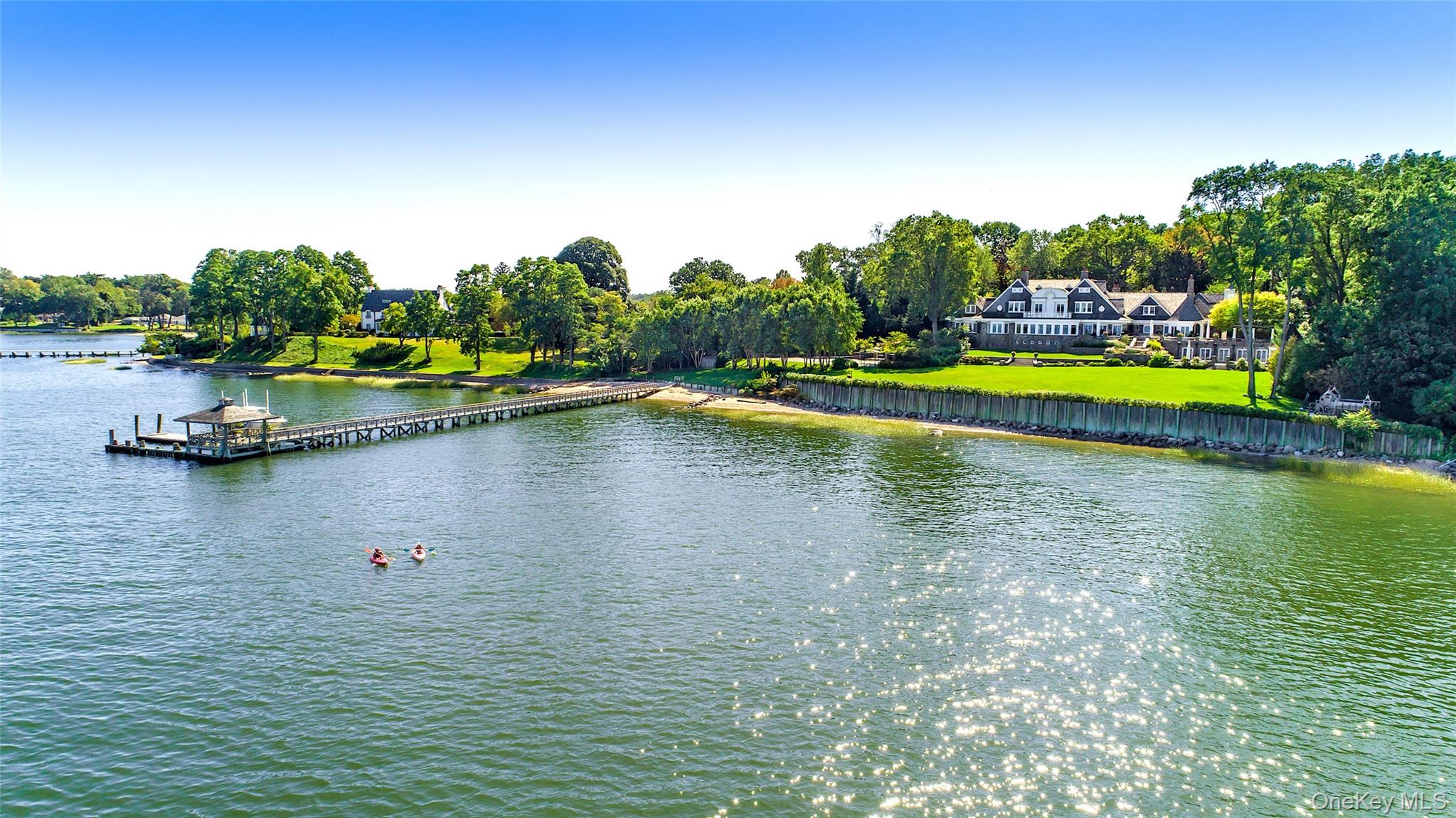
People say "Roxbury" for a house near the village green, for a larger hillside lot, for a weekend base near Washington Depot or New Milford, and for the wrong Roxbury entirely. On this page, The Garay Team keeps the legal form plain so a listing brief, a tax question, or a permit visit does not get the wrong office or the wrong state.
Town of Roxbury is a Connecticut town in Litchfield County. It is not Roxbury, New York. It is not the Boston neighborhood named Roxbury. It is one town government, not a New York-style Town-plus-Village split. Confirm Town of Roxbury contacts for the exact parcel before you write an offer or a listing.
Town Hall. Orientation address: 29 North Street, Roxbury, CT 06783. Mailing address commonly listed as PO Box 203, Roxbury, CT 06783. First Selectman's Office phone orientation: (860) 354-9938. Town materials list office hours around Tuesday through Friday, 9 a.m. to noon and 1 p.m. to 4 p.m. Confirm current hours, clerk contacts, and meeting calendars on the town site before a permit, tax, or land-record visit. Official site: roxburyct.com. First Selectman page: roxburyct.com/215/First-Selectmans-Office.
Town Clerk. Same building orientation; phone (860) 354-3328. Confirm land-record hours and appointment notes on roxburyct.com/279/Town-Clerk.
County place name. Connecticut has had no county government since 1960. "Litchfield County" is a place name on a deed and a map, not an office you call for zoning. Parcel questions go to the Town of Roxbury. County orientation for the wider search: Litchfield County.
Keep these names separate when you write a brief:
Town of Roxbury, Connecticut - the municipality for parcels inside this town line. Say Connecticut Roxbury when the brief could be confused with New York or Boston.
Village center - the compact civic and commercial pattern around Town Hall, the libraries, and the green. Orientation label, not a separate government.
Larger town lots / hillside and valley parcels - much of the town sits outside the village-center grid, with wider lot sizes and different driveway, well, and septic patterns. Confirm the tax map, not a brochure phrase.
Washington (Washington Depot) and New Milford - neighboring Litchfield County towns with their own governments and their own Garay Team neighborhood pages. Do not collapse them into Roxbury on a brief.
ZIP code is not a town score. Mail commonly uses 06783. Name the Town of Roxbury on the brief, not just the ZIP. Edge parcels can sit near neighboring municipalities; confirm the tax map.
The Garay Team is licensed in New York and Connecticut only.
See related inventory and guides: Washington, New Milford, Litchfield, Salisbury, Sharon, Kent, Ridgefield, Litchfield County.
Roxbury is a late-eighteenth-century Connecticut town with an industrial mining chapter you can still walk. Keep the history short and sourced.
Incorporation (1796). The Town of Roxbury About page states the town was incorporated in 1796, covers about 26 square miles, and sits in the Litchfield Hills pattern of northwestern Connecticut. Town About also notes farming and mining heritage, architecture and barns, and the Shepaug River flowing south through a narrow valley on the western side of town. That is municipal history and geography, not a claim about any current house. About: roxburyct.com/181/About.
Mine Hill and Roxbury stone. The Roxbury Land Trust describes Mine Hill Preserve as a nineteenth-century iron-making complex with interpretive signs near roasting ovens and a blast furnace, plus a long granite-quarry story. Land trust materials place the industrial heyday roughly 1865 to 1872 and note National Register recognition for the complex. The site also explains light gray Roxbury stone used in buildings beyond town. Preserve page: roxburylandtrust.org/preserve/mine-hill. That is open-space and industrial history you can visit, not a private amenity that comes with a house purchase.
Historic District Commission. The town calendar lists a Historic District Commission. If a listing claims historic district status, a period façade, or a protected feature, confirm it with the town and with state or federal records before you write it into marketing.
That is history, not a claim about any current parcel.
Roxbury sits in southern Litchfield County as a lower-density town between more commercial New Milford patterns and the Washington Depot / Washington town pattern. Buyers comparing Roxbury to New Milford, Washington, Litchfield, or Fairfield County towns are comparing different governments and different housing mixes.
Village center. Town Hall at 29 North Street, library stops on South Street and North Street, and the green pattern cluster here. Showing days can include town-meeting nights, commission calendars, and weekend visitor traffic on the state roads. Visit at the hours you will actually use the block.
Western Shepaug valley. Town About places the Shepaug River in the western part of town, cutting a narrow valley through hills. River-adjacent and valley parcels raise wetlands, flood-map, and driveway questions. Confirm inland wetlands rules with Town Land Use before you plan site work.
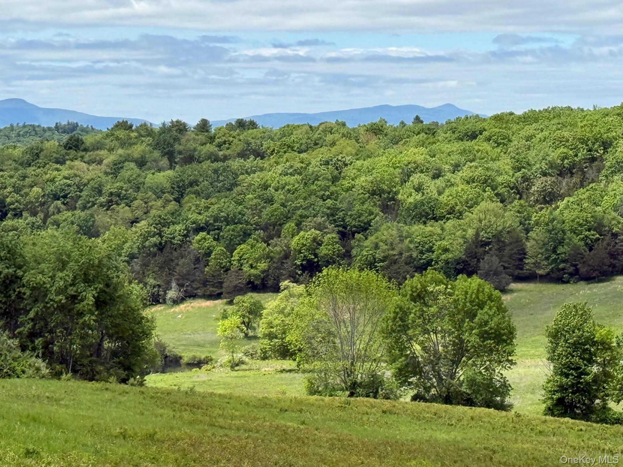
Hills and larger lots. Away from the village center, lots often widen and houses sit farther from neighbors. Antique houses, farmhouses, converted barns, and newer construction all appear in the mix. Lot size and building type change road by road. Confirm what is actually on the tax map for the parcel you are buying or selling.
Neighbors on the map. Washington and New Milford sit on common tour routes. Name the neighbor when the search truly widens; do not invent a drive time between village centers.
We will not publish a median sale price, days-on-market claim, school ratings list, or volume claim for Roxbury on this page. Use live listings and a dated MLS extract when you need numbers.
Roads (primary fact for almost every Roxbury address). Daily access is by car. Orientation state roads that connect the village center with surrounding towns include CT-67, CT-199, and CT-317. CT-67 is also the corridor many people use when relating Roxbury to Bridgewater and New Milford. For live road conditions, use official Connecticut traveler information. We will not invent drive times to New York City, to Danbury, to Waterbury, or to Washington Depot.
Rail honesty (important). There is no Metro-North station in Roxbury. Buyers who need rail should plan their own route and confirm current schedules directly. Regional options people often check include:
No invented commute minutes. TrainTime, the current branch timetable, and the morning you actually travel are the source of truth. We will not invent a door-to-Grand-Central number from a village-center house, a Shepaug-valley parcel, or a larger town lot.
Local transit. Fixed-route bus coverage inside Roxbury is limited compared with larger CT towns. Confirm any regional bus options that actually serve your tour day before you rely on them.
When we show homes in Roxbury, these are stops we actually send buyers, with official links so you can confirm hours yourself.
Hours change. Check them the morning of a showing. We do not treat a Yelp widget as a curated guide.
Hurlburt Park. Town recreation park with pavilion rental options through the Selectman's Office. Confirm fields, pavilion, and any resident-use rules on town Facilities and Recreation materials. Facility: town Hurlburt Park.
Town greens and named town parks. Town maintenance specifications and Facilities materials also reference town greens, Conway Field behind Town Hall, Hodge Park, Sherman Park, Roxbury Falls Park, and tennis-court areas. Use those as place names and confirm current access and conditions with the Town. Do not invent amenity lists from third-party trail apps.
Mine Hill Preserve (Roxbury Land Trust). Interpretive industrial site plus trail network on land-trust-conserved land. National Register iron-making complex context; granite quarry history; Shepaug valley approaches. Confirm closures (including any Carter Preserve loop notices) on the Mine Hill page before a hike tip.
Other Roxbury Land Trust preserves. Land trust materials describe a large conserved-acre network and many miles of marked trails across Roxbury and neighboring communities. Download or carry a current trail map from roxburylandtrust.org. Preserve access is not the same thing as owning open space with a house.
Private clubs and paid memberships. None of that is part of a house purchase unless the contract and club documents say so.
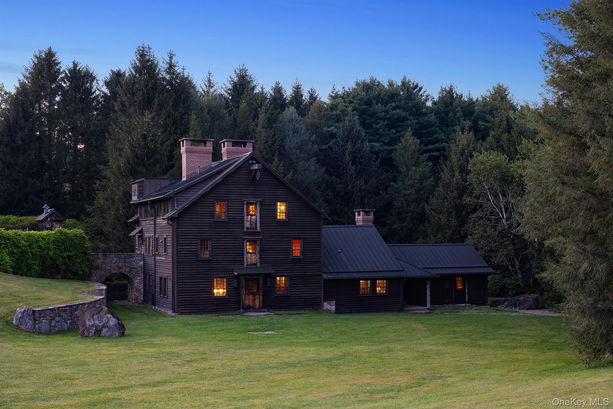
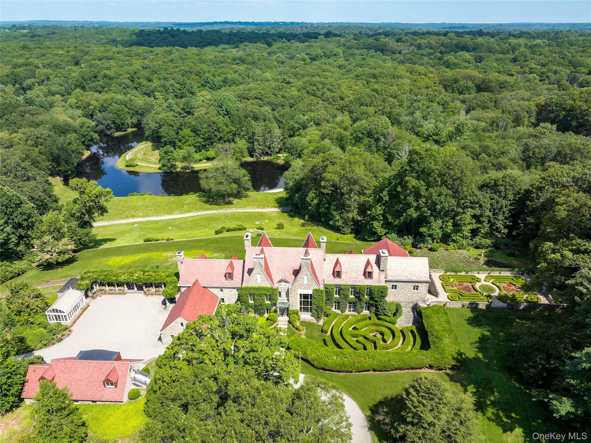
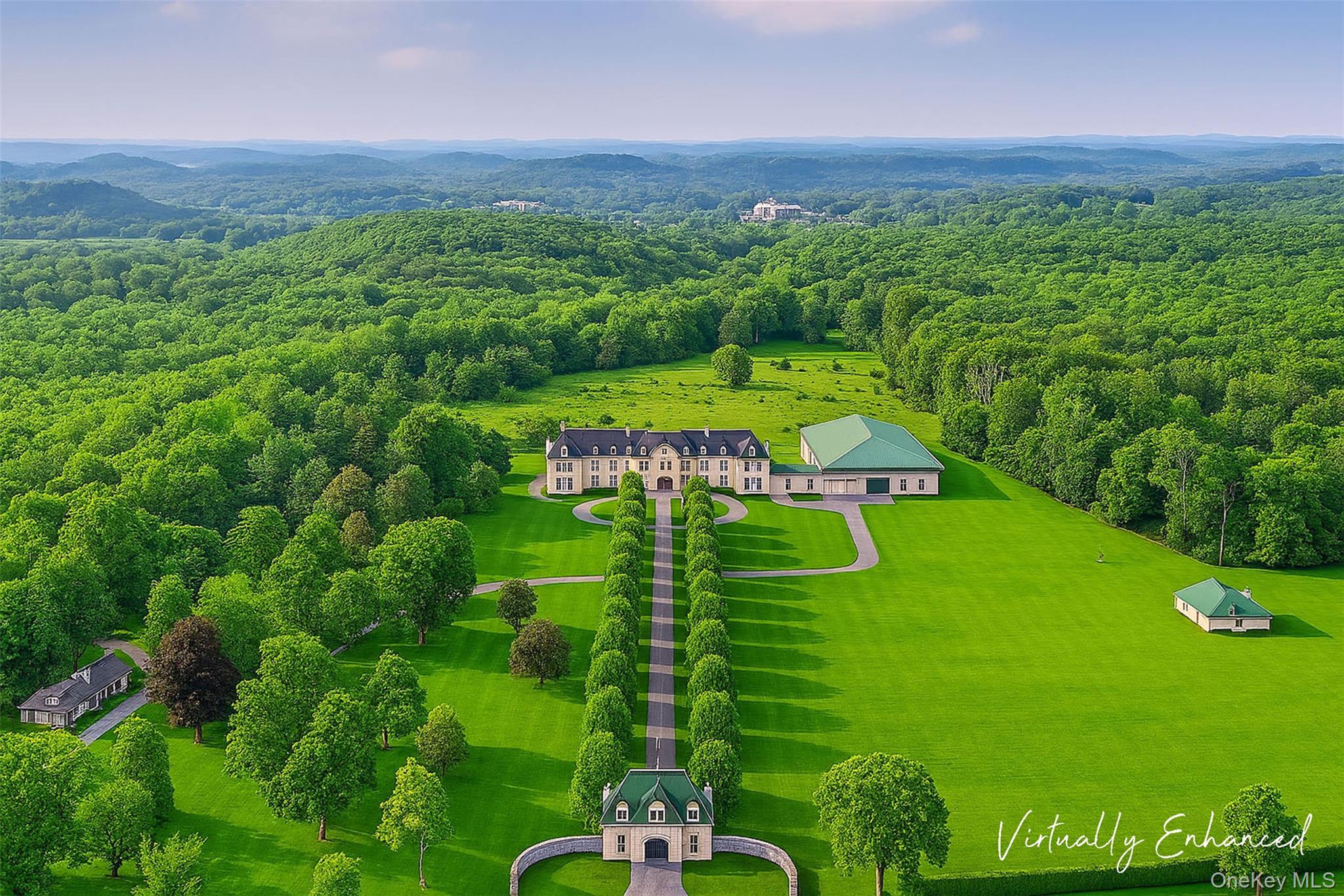
Housing in Roxbury ranges from homes near the village center to properties on larger town lots. The mix includes antique and period houses, farmhouses, converted barns, and newer construction. Lot sizes vary widely across town. Confirm what is actually on the tax map for the parcel you are buying or selling.
Zoning and permits. Ask the Land Use Department and the Zoning Enforcement path the Town publishes for zoning district, open permits, certificates, wetlands flags, and any special permit or variance history. Land Use phone orientation is (860) 354-9612. Online applications go through the town permitting portal linked from the Land Use page. Do not assume a renovated kitchen, finished lower level, barn conversion, or accessory dwelling was permitted.
Zoning regulations. Town Document Center materials include Zoning Regulations with an effective date of May 2, 2026. Regulations establish residence zones and a limited commercial village-area intent. Read the current PDF for the parcel district. Do not treat a neighbor's renovation as proof of what your lot allows.
Well, septic, and utilities. Many Roxbury parcels sit on private well and septic systems rather than municipal water and sewer. Confirm utility status for the exact parcel with the Town, the health district path the Town uses, and inspections that fit the property. Do not assume public water or sewer because a village-center address looks "in town."
Wetlands and topography. Shepaug valley parcels and other low or ledge sites can trigger inland wetlands review, driveway grade questions, and drainage work. Ask early.
Historic claims. If marketing says historic district, period details, or protected exterior features, confirm with the Historic District Commission path and with recorded documents.
Addresses people call "Roxbury" commonly fall in Regional School District #12 (Region 12). Confirm the serving district and school for the exact parcel. This page does not rank schools or use coded neighborhood language.
Region 12 publishes at region-12.org. District materials list elementary schools including Booth Free School (K-5) in Roxbury, Burnham School, and Washington Primary School, plus Shepaug Valley School (grades 6-12). District office orientation: 11A School Street, Washington Depot, CT 06793; phone 860-868-6100.
Booth Free School orientation from district materials: 14 South Street, Roxbury, CT 06783; phone 860-354-9391. School page: region-12.org Booth Free School.
Confirm attendance boundaries, enrollment, and programs with the district and, when needed, with the Town of Roxbury. District arrangements can change. We do not rate schools or advise on where to live based on school data.
Start with the municipality. Ask whether the parcel is inside the Town of Roxbury, Connecticut (not Roxbury, New York). Then confirm school attendance, flood status, well/septic status, and whether the tour is village-center, Shepaug-valley, or a larger town-lot section.
Taxes and parcel records. Use Town Hall, the Town Clerk, and the assessor / tax collector path the town publishes for the tax map, assessment, and open items. Ask for current municipal and related bills. Confirm dates with the offices that actually bill the parcel.
Well, septic, and utilities. Order inspections that fit a private well / septic property when those systems apply. Ask for pump and service records when they exist.
Permits and certificates. Ask Land Use and the building path the Town publishes for open permits and certificates before you list or close.
Flood and environmental. Check the FEMA flood map for the parcel at the FEMA Flood Map Service Center, especially near the Shepaug River, streams, and low ground. Ask for an insurance quote early when maps show risk.
Road and driveway adjacency. State-road parcels trade access for traffic noise. Hillside parcels trade privacy for grade and winter maintenance questions. Visit at the hours you will actually live there.
Weekend and second-home planning. Many Litchfield Hills searches include weekend or seasonal use. That is a planning conversation, not a percentage we invent for Roxbury. Our second homes guide covers that planning conversation more broadly.
Closing items. Ask for final utility readings where they apply, current tax receipts, open permit status, well and septic documentation, and any association documents when they apply.
Sellers. Accurate place language helps. Say "Town of Roxbury, Connecticut," then "village center," "Shepaug valley," or "larger town lot" when it is true. Do not call it Roxbury, New York, and do not invent a commute time.
Any census or third-party population widgets shown on this site are third-party estimates and are not verified by our team. Town About materials cite a local population figure on the order of about 2,150; treat that as a town-site figure, not a Census CDP reconciliation. There is no official primary-versus-second-home percentage for Roxbury on this page, and we will not invent one.
None of these "wins." They answer different search patterns.
Washington - neighboring Litchfield County town / Washington Depot pattern; common comparison when buyers want the Depot commercial core versus Roxbury's quieter village-center map.
New Milford - larger southern Litchfield County town on the Housatonic with a bigger downtown retail pattern and Candlewood / Lillinonah lake geography Roxbury does not share.
Litchfield - county-name town further north on the broader Litchfield Hills map; useful when buyers widen beyond Roxbury / Washington / New Milford.
Salisbury and Sharon - northwestern Litchfield County towns nearer the New York line when the search moves that direction.
Kent - Housatonic / Route 7 pattern north of New Milford when the tour set shifts that way.
Ridgefield - Fairfield County comparison when buyers cross planning-region lines (Garay Team licensed in CT as well as NY).
Woodstock - Ulster County, New York comparison only when a buyer is truly cross-border shopping weekend inventory (different state, different town clerk).
Litchfield County - county guide when the search is broader than one municipality.
Village center versus larger lots. A North Street / South Street tour day is not the same Saturday as a long driveway on a hillside parcel. Put the correct pattern on the showing map.
No in-town rail. Roxbury is a driving town for daily life. Rail is a regional add-on you choose (Danbury Branch, Waterbury Branch, or a Harlem Line plan), not a station walk from Town Hall.
Commission nights and facility calendars. Zoning, inland wetlands, historic district, and recreation calendars can change curb space and Town Hall activity. Check the town calendar when a showing day matters.
Land trust trail days. Mine Hill and other preserves are real open-space neighbors. They are not automatic "backyard" claims for every listing. Confirm access and closures separately from the house tour.
Well and septic diligence. Utility assumptions that work in a city condo do not transfer here. Budget time for inspections that match the systems on the parcel.
Is this Roxbury, New York or the Boston neighborhood?
No. This page is the Town of Roxbury in Litchfield County, Connecticut. Official site: roxburyct.com.
Is there a Metro-North station in Roxbury?
No. There is no Metro-North station in Roxbury. Regional options people often check include Danbury on the Danbury Branch and Waterbury on the Waterbury Branch. Confirm schedules with MTA TrainTime. We will not invent a commute time.
Where is Town Hall?
29 North Street, Roxbury, CT 06783 (mailing PO Box 203). Confirm hours and department contacts on roxburyct.com. First Selectman line orientation: (860) 354-9938.
Which school district serves a Roxbury address?
Confirm with the district for the parcel. The common answer inside town is Regional School District #12 (region-12.org), including Booth Free School (K-5) in Roxbury and Shepaug Valley School (6-12). Boundaries are parcel-specific.
Do most homes have public water and sewer?
Do not assume that. Many parcels use private well and septic. Confirm utilities for the exact parcel with the Town and with inspections.
Can The Garay Team help in Roxbury?
Yes, for Connecticut licensed brokerage in Litchfield County. Contact [email protected], use our contact page, or start with selling with The Garay Team when you need a listing plan.

Office 17 Collegeview Ave Poughkeepsie, NY 12603
Office 17 Collegeview Ave Poughkeepsie, NY 12603