Kent is a town in Litchfield County, in Connecticut's Northwest Hills. It is its own municipality. Building permits, zoning, assessment, and day-to-day town rules run through the Town of Kent, not through a neighboring village clerk. Official town site: townofkentct.gov.
The town was incorporated in 1739. Town materials describe a rural community of about 3,000 residents, with named hamlets and places that buyers hear in listing language: Bulls Bridge, Kent Hollow, South Kent, and The Cobble, among others. Downtown Kent sits where US Route 7 (north-south) meets Connecticut Route 341 (east-west). The Civil War Soldiers Monument at that intersection is the visual cue many people use for "you have arrived in the village center."
Mailing ZIPs commonly associated with the town include 06757 and 06785. Confirm the tax and permit jurisdiction on the street address before you treat a mailing label as the whole story.
The Garay Team is licensed in New York and Connecticut only. This page does not cover New Jersey brokerage.
See related inventory and guides: Sharon, Salisbury, Washington, New Milford, Litchfield, Roxbury, Millerton, Amenia, Dover Plains, Millbrook.
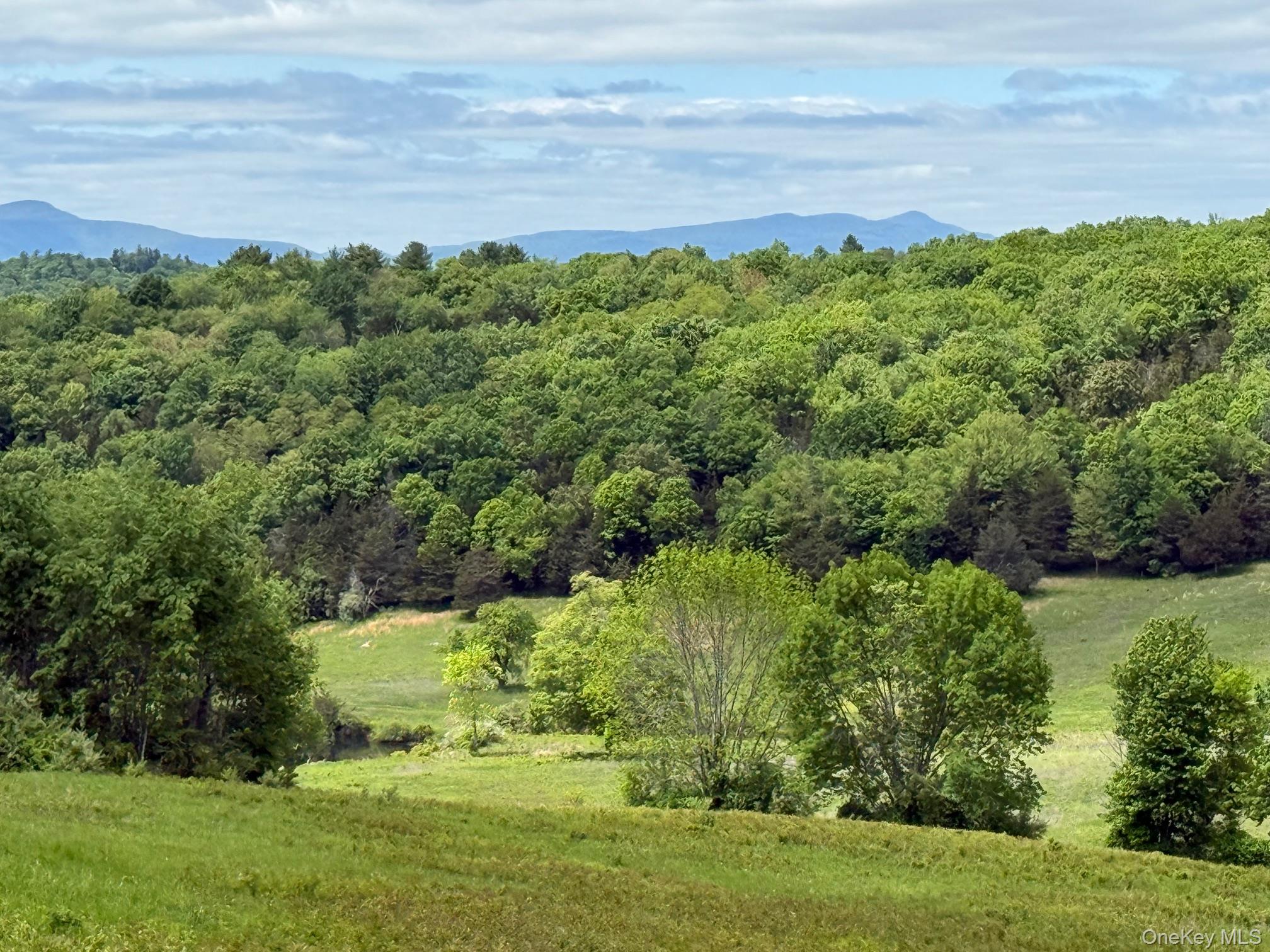
Kent sits alongside the New York state line in western Litchfield County. The Housatonic River runs through this part of the county and is the water story buyers mean when they talk about river views, fishing access, covered-bridge day trips, and Appalachian Trail approaches near Bulls Bridge.
Keep nearby names separate when you write an offer or a listing brief:
Town of Kent - the municipal government for Kent addresses. Start with townofkentct.gov for clerk, land use, and town notices.
Village center / Main Street pattern - the walkable downtown mix of shops, galleries, restaurants, and residential buildings along the Route 7 / Route 341 spine. The Kent CT Chamber of Commerce publishes visitor and business orientation at kentct.com.
Bulls Bridge / South Kent / other hamlets - named places inside or next to the town conversation. They are not separate town governments. Confirm the parcel with Kent town records.
We will not publish a median sale price, days-on-market claim, school ranking, or volume ranking for Kent on this page. Use live listings and a dated MLS extract when you need numbers.
Roads. Daily access is by car. US Route 7 is the main north-south highway through Kent. Connecticut Route 341 is the main east-west state route through the village center. Regional driving commonly uses Route 7 toward other Northwest Hills towns and toward the Danbury / greater Fairfield County road network to the south. For live Connecticut road conditions, use official state traveler information rather than a social post.
Rail honesty. There is no Metro-North or Amtrak passenger station in Kent today. A historic Kent station once served passenger trains on the Housatonic Railroad corridor; that passenger story ended decades ago. Do not plan a walk-to-platform commute from a Kent driveway.
Commonly named Metro-North Harlem Line options on the New York side of the line for this part of the Northwest Hills / Harlem Valley conversation include:
- Dover Plains (Town of Dover / Harlem Valley pattern).
- Harlem Valley-Wingdale.
- Wassaic, the Harlem Line northern terminus in the Town of Amenia, which still requires a car, taxi, or arranged pickup to reach Kent.
Which station is practical depends on the exact street address, the job location, and the current schedule. We will not invent a drive time from a specific Kent parcel to any of those platforms. Confirm schedules with the MTA Metro-North directly.
Local transit context. Regional dial-a-ride / local transit options are published for Northwest Connecticut towns at times. Confirm current Northwestern Connecticut Transit District (or successor) schedules before you rely on them for a showing day.
Kent Falls State Park. Connecticut state parks describe Kent Falls as one of the system's signature destinations: a series of cascades totaling about 250 feet as Falls Brook works its way toward the Housatonic River. Published park address: 462 Kent Cornwall Road, Kent, CT 06757. Visitors commonly walk a paved approach through a covered bridge / picnic area, then climb the Kent Falls Steps Trail for viewpoints. Park rules matter: stay on trails, no swimming in the falls area as posted, and check current hours and fees before you go. Official page: ctparks.com - Kent Falls State Park.
Macedonia Brook State Park. Also in Kent, state parks describe a roughly 2,300-acre park with more than 10 miles of trails, camping, and fishing among other programmed uses. Published address: 159 Macedonia Brook Road, Kent, CT 06757. Trail difficulty and seasonal closures change. Confirm before you treat a summit or campsite as open for a showing-day visit: ctparks.com - Macedonia Brook State Park.
Bull's Bridge and the covered-bridge / gorge pattern. Bull's Bridge is a historic covered bridge over the Housatonic River in the Kent area, listed on the National Register of Historic Places. The surrounding recreation area (published around 248 Bulls Bridge Road in FirstLight stewardship materials) is used for walking the bridge, viewing rapids / gorge scenery, picnicking, and connecting toward Appalachian Trail hiking. Parking fills on peak weekends. Do not invent a private "bridge amenity" attached to a house listing. Orientation: FirstLight - Bulls Bridge Recreation Area and Housatonic Heritage - Bull's Bridge.
Appalachian Trail. The Appalachian Trail passes through / near Kent, including approaches commonly discussed from the Bulls Bridge side and other local trailheads. The Kent CT Chamber notes trail access about a mile from the village center for day-hike orientation. Thru-hikers use Kent as a resupply and rest stop in season. Trail conditions, parking, and access points change. Use Appalachian Trail Conservancy and park materials for the current route, not a listing photo alone: appalachiantrail.org. Chamber hiking overview: kentct.com/hiking-in-kent.
River recreation. The Housatonic corridor supports fishing and outdoor day use under state and local rules. Licenses, seasons, and access points are not the same as a private dock claim on a listing. Confirm with Connecticut DEEP / park pages for the use you mean.
When we show homes in Kent, these are orientation stops we actually use. Hours change. Verify the morning of a showing.
Town of Kent for permits, clerk questions, land use, and municipal notices: townofkentct.gov.
Kent CT Chamber of Commerce for visitor information, downtown orientation, shops, galleries, inns, and event pointers: kentct.com.
Downtown Kent (Route 7 / Route 341) - galleries, independent shops, cafes, and restaurants in a compact village pattern. Treat it as a walkable errand and day-trip hub, not as a substitute for a larger city services center.
Kent Falls State Park when waterfall / covered-bridge park context is part of why the buyer is looking: ctparks.com.
Bull's Bridge recreation area when the covered bridge, gorge views, or Appalachian Trail approach is part of the search: FirstLight and Housatonic Heritage pages above.
Museums and heritage stops commonly named near the Kent / Route 7 conversation include the Eric Sloane Museum context and the Connecticut Antique Machinery Association museum area. Hours and exhibits change. Confirm before you build a showing day around a specific gallery or museum block.
For broader shopping, hospitals, and Harlem Line errands, many clients already compare New Milford, the Harlem Valley (Dover Plains / Amenia / Millerton), Litchfield, and larger Fairfield County hubs farther south on Route 7. Name the errand hub you mean.
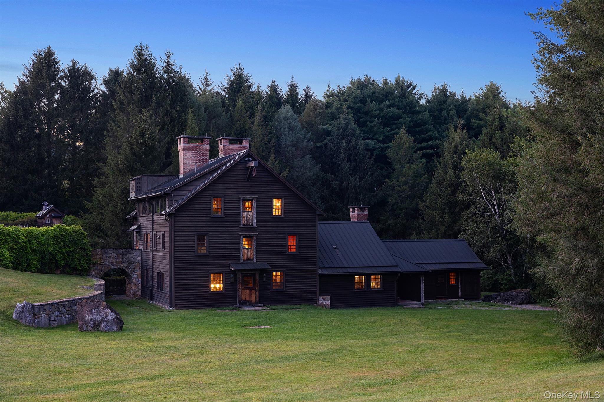
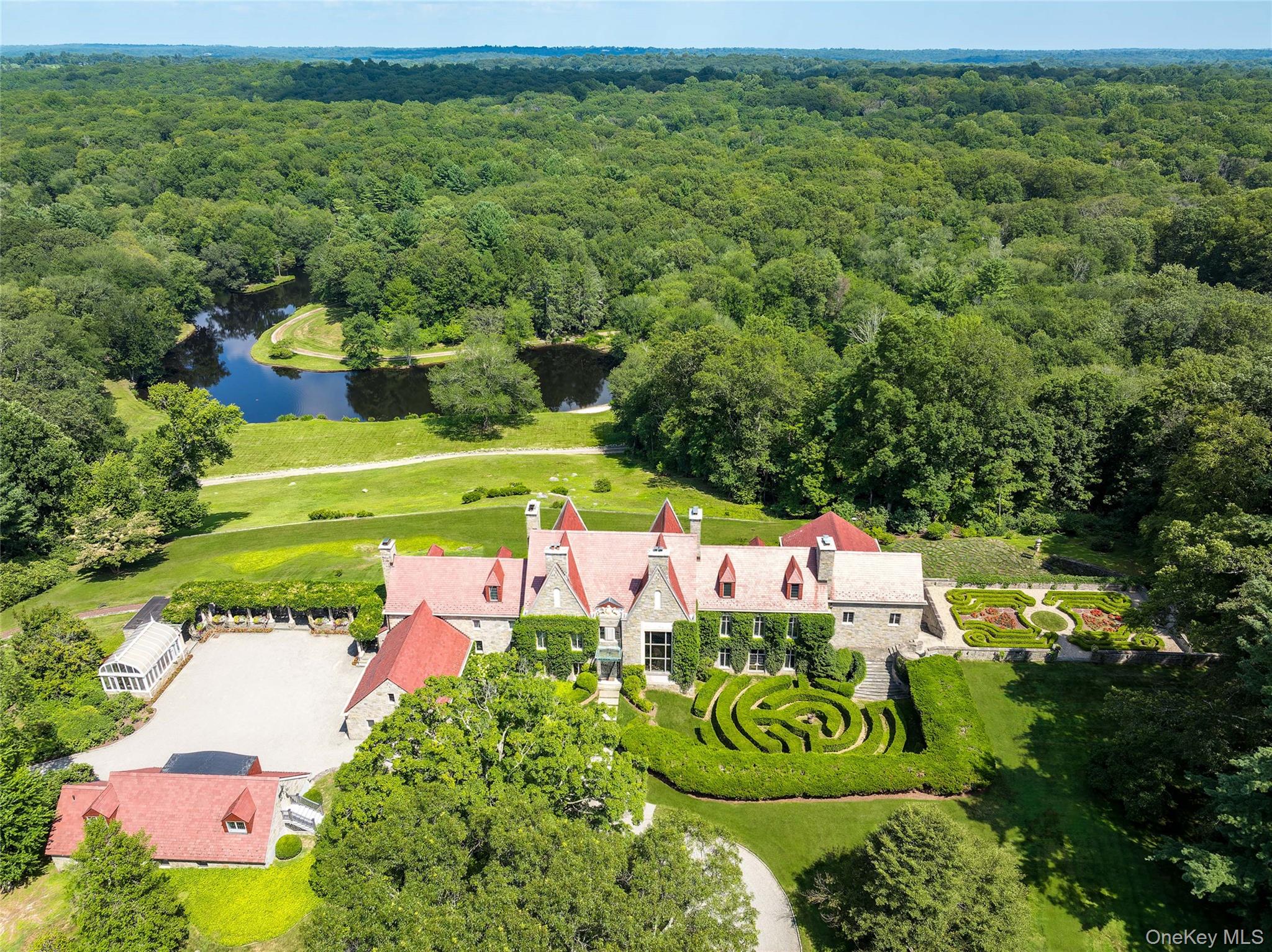
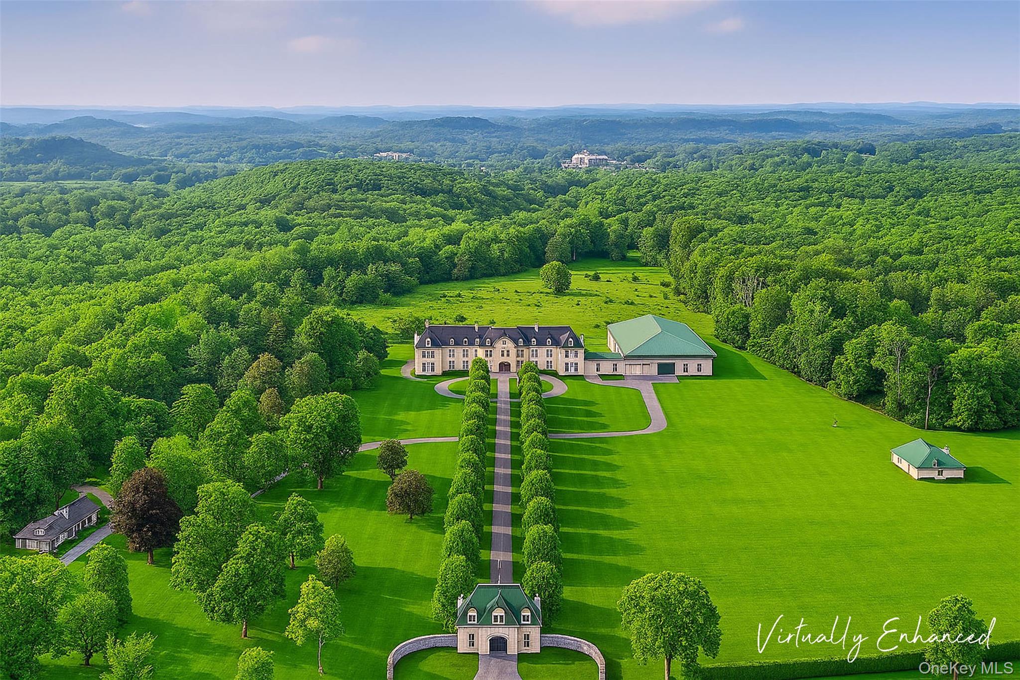
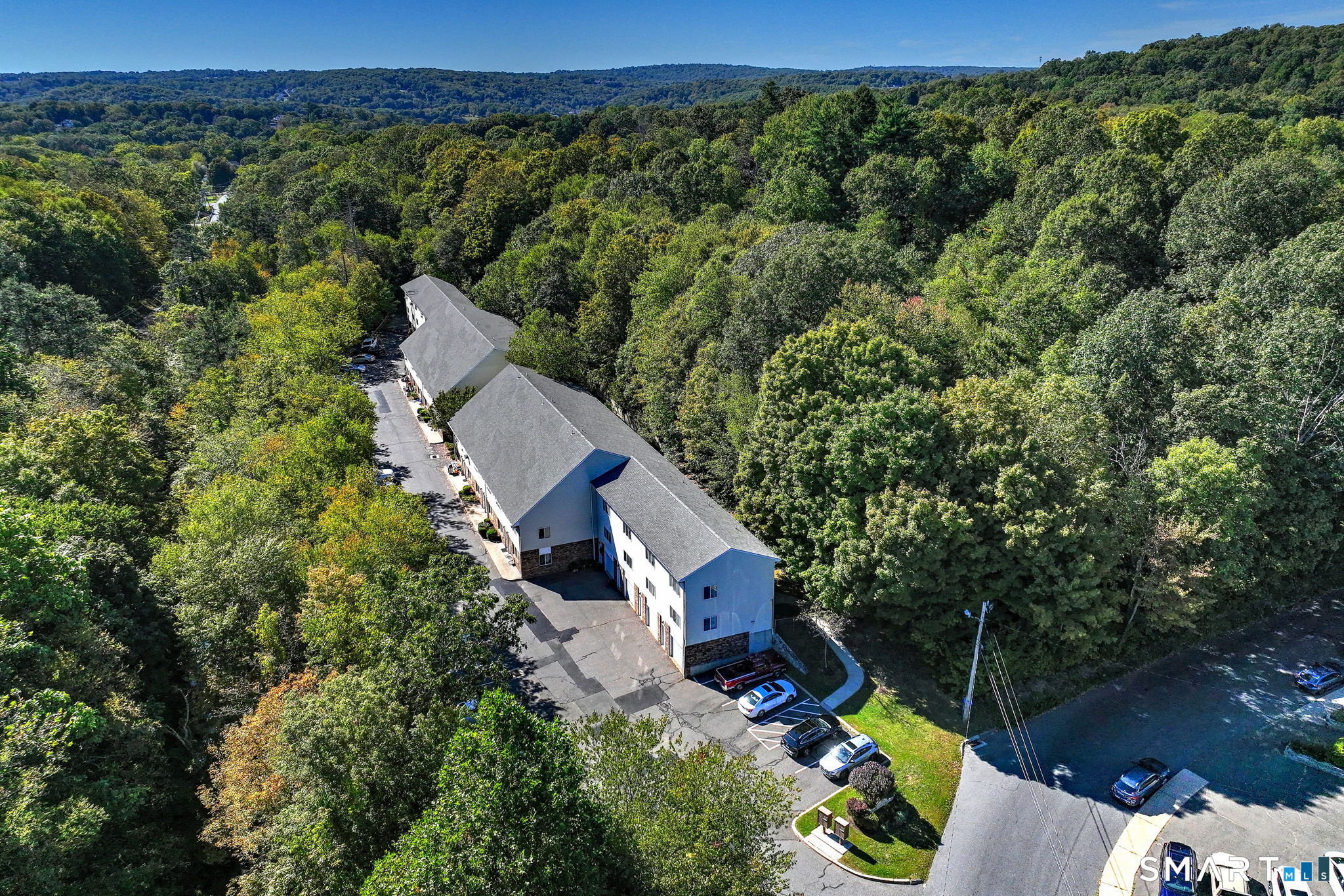
Inventory in and around Kent ranges from village-center and near-Main Street houses to larger town and rural lots, river-adjacent parcels, and more private Northwest Hills road patterns away from the commercial strip. Architecture can include classic New England village stock, renovated country houses, design-forward renovations, and newer construction on larger lots. Those are housing types only.
Water, septic, well, flood / river questions, and zoning can differ street by street. Confirm utilities and permitted uses with the Town of Kent before you treat a listing note as final.
School district boundaries and private-school addresses are not a substitute for the tax parcel. Confirm the serving public district for a specific parcel with the town or district. This page does not rank schools or describe who lives here.
Short-term rental rules, conservation easements, HOA documents (when a community has one), and river / wetland setbacks matter on some addresses. Ask for the current town and state rules that apply to the parcel. Do not invent a town-wide policy from a neighbor anecdote.
Kent is part of the Fairfield County / Litchfield County country and second-home conversation many buyers already run alongside Ridgefield, Washington, Sharon, Salisbury, and Harlem Valley towns. Some buyers use Kent as a full-time house. Others keep a second place and drive. There is no official primary-vs-second-home percentage for Kent on this page. Do not invent one.
When we describe a Kent listing, we say whether it sits near the Route 7 / Route 341 village spine, closer to Kent Falls or Macedonia Brook access, toward Bulls Bridge / South Kent, on a larger town lot, or toward another named road pattern. Those are map facts. They are not coded claims about who lives where.
Motivations tied to place and access, not to a type of person.
- You want a Town of Kent (06757 / 06785) address with car-based daily life on the US-7 / Route 341 corridor, and you need rail honesty (no in-town Metro-North) plus park and river context.
- You are comparing Kent with Sharon, Salisbury, Washington, New Milford, Litchfield, Roxbury, or Harlem Valley towns such as Amenia, Dover Plains, and Millerton.
- You care about Kent Falls State Park, Macedonia Brook State Park, the Housatonic River, Bull's Bridge, or Appalachian Trail day-hike access more than a dense downtown-only model.
- You already own here and need a listing that names the Town of Kent, septic/well/zoning reality, and the nearest named Harlem Line options (Dover Plains, Harlem Valley-Wingdale, or Wassaic) without inventing drive times.
None of these "wins." They answer different search patterns.
Sharon - another Northwest Hills / Litchfield County town conversation west of the Route 7 spine pattern. Confirm which town clerk and tax map you mean.
Salisbury - farther north in the Northwest Hills set, often compared when buyers want a different village / lake / town pattern than Kent Falls / Bulls Bridge.
Washington - Litchfield County town pattern east of the immediate Kent Falls corridor conversation, useful when the search is "Washington Depot / New Preston adjacency" rather than Kent village / US-7.
New Milford - larger services and Route 7 corridor context south of Kent. Often the grocery / errand comparison.
Litchfield - county seat / historic green pattern with a different village model than Kent's river-and-falls framing.
Roxbury - quieter Litchfield County town pattern often compared when buyers want less village-tourist foot traffic than downtown Kent on peak weekends.
Amenia / Dover Plains / Millerton - Harlem Valley / Dutchess County pattern on the New York side, including Harlem Line station context that Kent does not have in-town.
Millbrook - eastern Dutchess country / village pattern often in the same second-home shortlist as Litchfield County towns.
Ridgefield - Fairfield County town farther south, useful when buyers are comparing a denser Fairfield commute story with a Northwest Hills / Kent Falls search.
Is Kent its own town?
Yes. It is a town in Litchfield County, Connecticut, incorporated in 1739. Use Town of Kent records for permits and taxes. Official site: townofkentct.gov.
Is there a Metro-North station in Kent?
No current passenger station. Commonly named Harlem Line options for this part of the region include Dover Plains, Harlem Valley-Wingdale, and Wassaic. Confirm which platform fits the address and schedule with MTA. We will not invent a drive time.
What is Kent Falls State Park?
A Connecticut state park in Kent known for a cascade series totaling about 250 feet as Falls Brook heads toward the Housatonic. Published address: 462 Kent Cornwall Road. Official page: ctparks.com.
Where is Bull's Bridge?
A historic covered bridge over the Housatonic River in the Kent area, with a recreation area and Appalachian Trail hiking connections nearby. Confirm parking and trail rules before you go.
Does the Appalachian Trail go through Kent?
Yes. The AT passes through / near Kent, including approaches commonly discussed from the Bulls Bridge side and other local trailheads. Use current trail and parking guidance rather than a listing claim alone.
What roads matter day to day?
US Route 7 (north-south) and Connecticut Route 341 (east-west) meet at the village center. Most daily access is by car.
Where do people get oriented downtown?
Start with the Town of Kent site and the Kent CT Chamber at kentct.com for shops, galleries, inns, and visitor pointers along the Route 7 / Route 341 spine.
Does The Garay Team work New Jersey from this page?
No. Licensed in New York and Connecticut only.
If the house is in Kent, say so in the first sentence: Town of Kent, where it sits relative to US-7 / Route 341, and whether Kent Falls, Macedonia Brook, Bull's Bridge, the Housatonic River, or Appalachian Trail access is part of why the buyer is looking. Name the nearest Harlem Line option only when it is truly part of the search, and do not invent drive times. We will not invent rankings or school quality language.
Email [email protected] or use the site contact page. Sellers: /sell.

Office 17 Collegeview Ave Poughkeepsie, NY 12603
Office 17 Collegeview Ave Poughkeepsie, NY 12603