Pine Plains is a town in northern Dutchess County, New York. The hamlet of Pine Plains is the crossroads center many people mean when they say the town name, but permits, zoning, assessment, and day-to-day municipal rules run through the Town of Pine Plains. Official town site: pineplains-ny.gov.
Town Hall is published at 3284 Route 199, Pine Plains, NY 12567 (mailing P.O. Box 955). Town Clerk contact published on the town site includes phone (518) 398-7155 and [email protected]. Town Hall hours are commonly listed as weekdays; Clerk office hours are published as Tuesday through Friday in the morning window. Start at the Clerk for land use questions, records, and municipal notices, and confirm current hours before you drive over.
Keep the map names separate when you write an offer or a listing brief:
Town of Pine Plains - the municipal government for Pine Plains addresses across the town. Historical summaries commonly state the town was formed in 1823 from the Town of North East, and that the broader area sits in the Little Nine Partners Patent of 1706 story (with Milan and part of North East also carved from that patent pattern). Confirm current clerk and tax map language with Town of Pine Plains records.
Hamlet of Pine Plains - the northern / central hamlet pattern centered on the NY-199 / NY-82 intersection, Town Hall, and lake-road recreation conversation. It is a hamlet and census-designated place (CDP) pattern inside the Town of Pine Plains, not a separate incorporated village government. Census widgets may show a Pine Plains CDP rather than the full town boundary; label CDP vs town if you cite a widget.
Other named places that show up in Town of Pine Plains orientation (confirm the tax parcel and clerk with town records) include Bethel, Hammertown, Mount Ross, Pachin Mills, and Pulvers Corners. Those are places inside the town conversation, not separate town governments.
Mailing ZIP commonly seen on town and facility addresses is 12567 (Pine Plains). Some parcels near town lines may show neighboring ZIPs such as Millerton, Stanfordville, or Red Hook on a mailing label. Confirm the tax and permit jurisdiction on the street address before you treat a ZIP as the whole story.
The Garay Team is licensed in New York and Connecticut only. This page does not cover New Jersey brokerage.
See related inventory and guides: Millbrook, Amenia, Millerton, Dover Plains, Rhinebeck, Sharon, Dutchess County, Litchfield County.
Pine Plains sits in the north-central / northeastern part of Dutchess County. County hazard-planning materials describe the town as abutting Columbia County to the north and bounded by the Towns of Milan (west), Stanford (south), and North East (east). Columbia County neighbors commonly named in the same border conversation include Gallatin and Ancram.
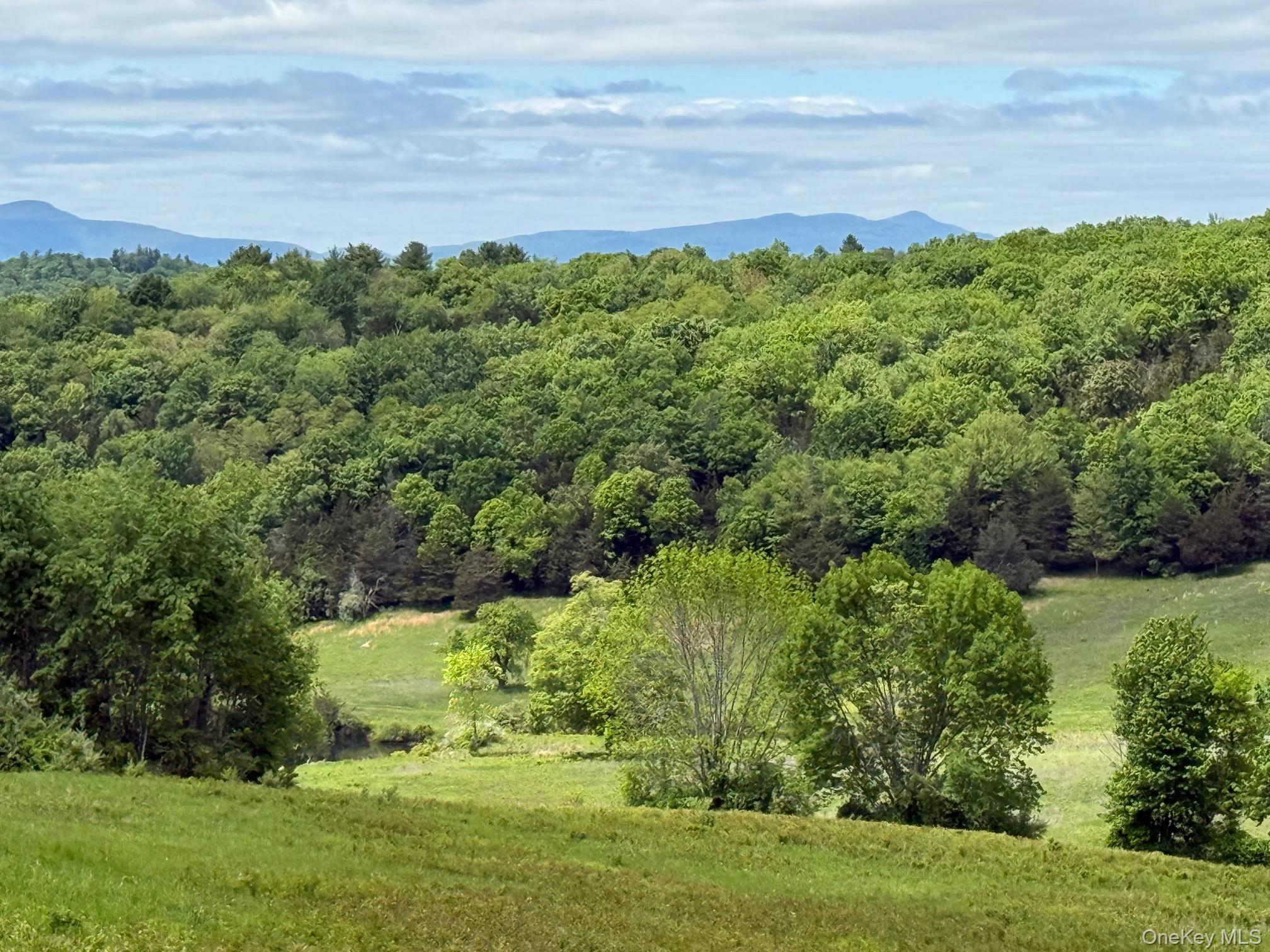
Town and county materials describe a valley floor historically called "the pine plains," with hills and mountains framing the settlement pattern. The landmark that orients almost every Pine Plains map conversation is Stissing Mountain on the west / southwest side of the town story, with lake and pond names (Stissing Lake, Thompson Pond, Twin Island Lake / Mud Pond) in the same kettle-basin conversation.
NY Route 199 is the main east-west state highway through the town. NY Route 82 is the main north-south corridor. County planning materials note that the two routes intersect in the Hamlet of Pine Plains, which is the most developed concentration of housing and businesses in the town. Regional driving commonly continues on NY-199 toward the Amenia / Millerton / Taconic patterns to the east and toward Milan / Red Hook / Rhinebeck patterns to the west, and on NY-82 toward Stanford / Millbrook patterns to the south.
Important map clarity for buyers who already know the Harlem Valley: Pine Plains is not a Harlem Valley rail town. There is no Metro-North station in Pine Plains. The Harlem Line spine (NY-22 corridor towns such as Amenia / Wassaic, Dover Plains, Millerton's valley neighbors) is a different eastern Dutchess pattern. Pine Plains is inland / west of that rail spine, oriented to NY-199 and NY-82, Stissing Mountain, and the lake / pond recreation story instead.
We will not publish a median sale price, days-on-market claim, school ranking, or volume ranking for Pine Plains on this page. Use live listings and a dated MLS extract when you need numbers.
Roads. Daily access is by car for most addresses. NY-199 and NY-82 are the spines people use to orient the hamlet center, Town Hall, and Lake Road recreation area. For live New York road conditions, use official state traveler information rather than a social post.
Rail. There is no Metro-North station in the Town of Pine Plains. Metro-North Harlem Line service is typically reached at stations in the Harlem Valley conversation - commonly Dover Plains and Harlem Valley-Wingdale in the Town of Dover, and Wassaic (Harlem Line northern terminus) in the Town of Amenia, plus stations farther south toward Pawling / Southeast. Confirm schedules, parking, ticket machines, and accessibility with MTA Metro-North. Which station is practical depends on the exact street address, the job location, and the current schedule. We will not invent a drive time from a Pine Plains parcel to any platform.
Local transit context. Dutchess County Public Transit options appear for parts of northern Dutchess at times. Confirm current route letters and schedules before you rely on them for a showing day.
Stissing Mountain. Stissing Mountain is the landmark ridge that defines Pine Plains on a map. Local heritage materials commonly cite an elevation of about 1,403 feet and a public fire tower at / near the summit for long views across the surrounding countryside. The mountain story straddles more than one municipal line in trail materials; treat trailheads and parking as named pull-offs, not as a private backyard amenity.
Stissing Mountain Multiple Use Area (NYSDEC). The New York State Department of Environmental Conservation describes a 590-acre Stissing Mountain Multiple Use Area with hiking, hunting, nature viewing, and cross-country skiing opportunity. DEC materials note about 2.8 miles of trails and 0.5 mile of public roads available for non-motorized recreation, and they also note that beaver flooding and stream crossings can affect trail access. DEC specifically notes there is no direct access to the Stissing Mountain Fire Tower from the Multiple Use Area - use the preserve / Lake Road trailhead conversation for the tower. Orientation: NYSDEC - Stissing Mountain Multiple Use Area.
Thompson Pond Preserve (The Nature Conservancy). At the foot of Stissing Mountain, The Nature Conservancy describes Thompson Pond Preserve (about 530 acres) in Pine Plains. Preserve materials describe an ancient kettle basin formed when glacial ice melted, with Thompson Pond as headwaters context for a major Hudson River tributary (Wappinger Creek). Trails loop around the pond (including bog-bridge / wet-edge segments), and a steep trail climbs toward the historic fire tower on Stissing Mountain. TNC materials also describe a wheelchair-accessible crushed-stone trail segment and viewing point. The preserve is commonly described as open dawn to dusk for passive recreation. Confirm map, parking, and current conditions before you build a showing day around a hike. Orientation: The Nature Conservancy - Thompson Pond Preserve. Dutchess County also publishes a Thompson Pond / Stissing Mountain trails map used in town Parks & Recreation links.
Pine Plains Beach / Stissing Lake Park. The Town of Pine Plains Parks & Recreation page lists Pine Plains Beach / Stissing Lake Park on Beach Road, Pine Plains, NY 12567 as a municipal recreation facility. Treat beach hours, swimming rules, parking, and seasonal status as current town / county health rules - confirm before you promise a swim day. Orientation starts at the town Parks & Recreation page: pineplains-ny.gov/parks-recreation.
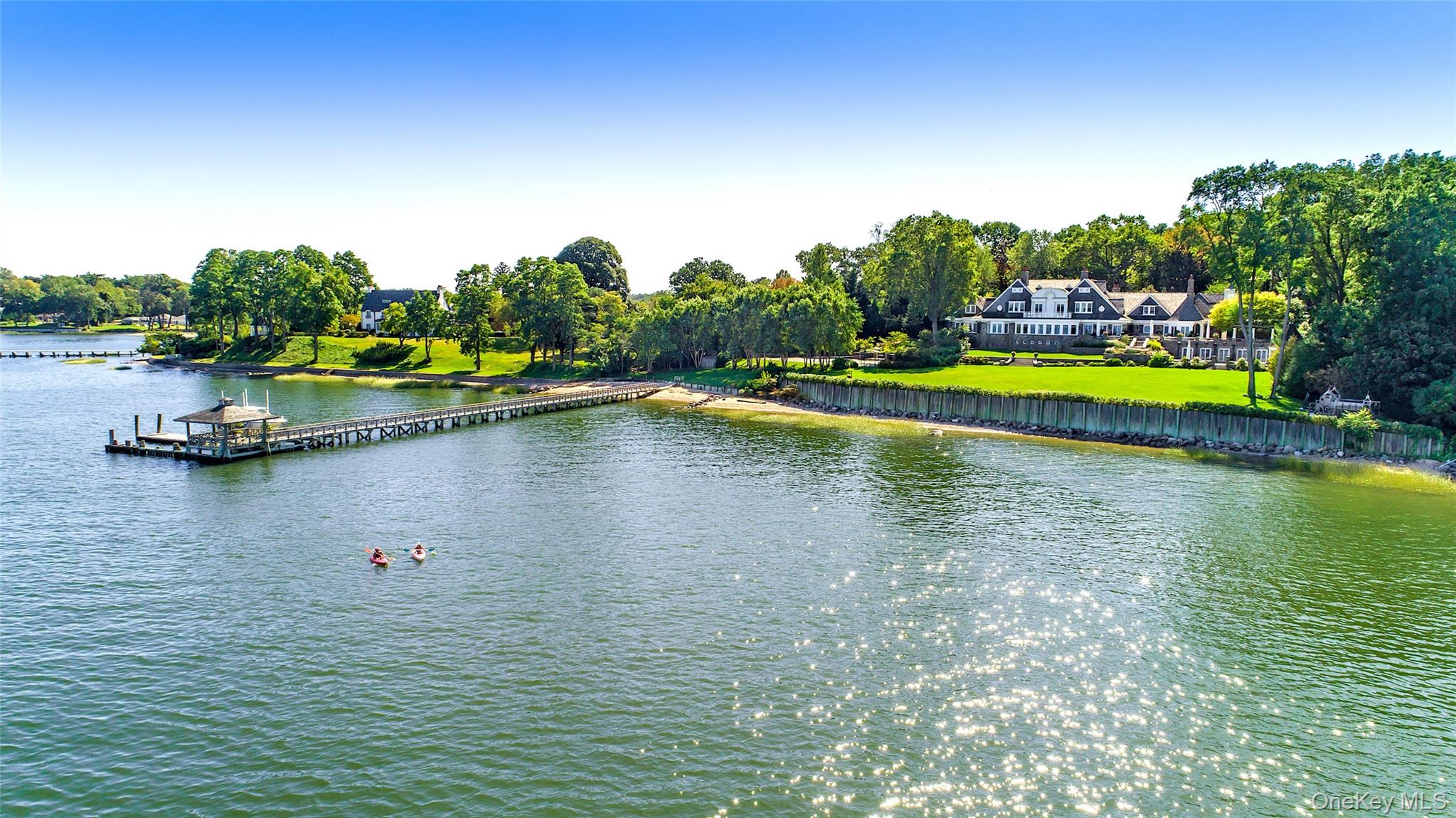
Stissing Lake, Twin Island Lake (Mud Pond), and the kettle chain. Local heritage writing (Little Nine Partners Historical Society) describes three contiguous glacial kettle water bodies from north to south as Mud Pond (Twin Island Lake), Stissing Lake, and Thompson Pond. Those are documented place nouns for orientation. Public swimming access is concentrated at the town beach / Stissing Lake Park conversation; do not invent public beach rights on private Twin Island Lake shoreline from a listing photo. Confirm parcel waterfront rights, docks, and any lake association rules on the exact deed.
Audubon Buttercup Sanctuary. The town Parks & Recreation page also links Audubon Buttercup Sanctuary as a nearby nature-study / trail orientation stop (Dutchess County trail-map materials). Confirm current steward, trail map, and access rules before you treat a pull-off as open.
Wappinger Creek headwaters context. Heritage and preserve materials place Thompson Pond in the headwaters story of Wappinger Creek (a major Dutchess tributary of the Hudson). That is watershed orientation, not a private waterfront claim.
When we show homes in Pine Plains, these are orientation stops we actually use. Hours change. Verify the morning of a showing.
Town of Pine Plains for permits, clerk questions, land use, assessment roll notices, and municipal meetings: pineplains-ny.gov, Town Hall at 3284 Route 199, Pine Plains, NY 12567.
Pine Plains Beach / Stissing Lake Park when lake recreation is part of why the buyer is looking: Beach Road; confirm seasonal rules with town Recreation.
Thompson Pond Preserve / Stissing Mountain fire tower trailhead when trail and mountain-view context is part of the search: Nature Conservancy preserve page and Dutchess County trail map; Lake Road parking pattern in preserve directions.
Stissing Mountain Multiple Use Area when hunting / multi-use trail context is part of the conversation: NYSDEC page (and remember the fire tower is not accessed from the MUA).
For broader shopping, hospitals, and errands, many clients already compare Millerton, Amenia, Millbrook, Rhinebeck / Red Hook, and larger Dutchess hubs farther south and west. Name the errand hub you mean.
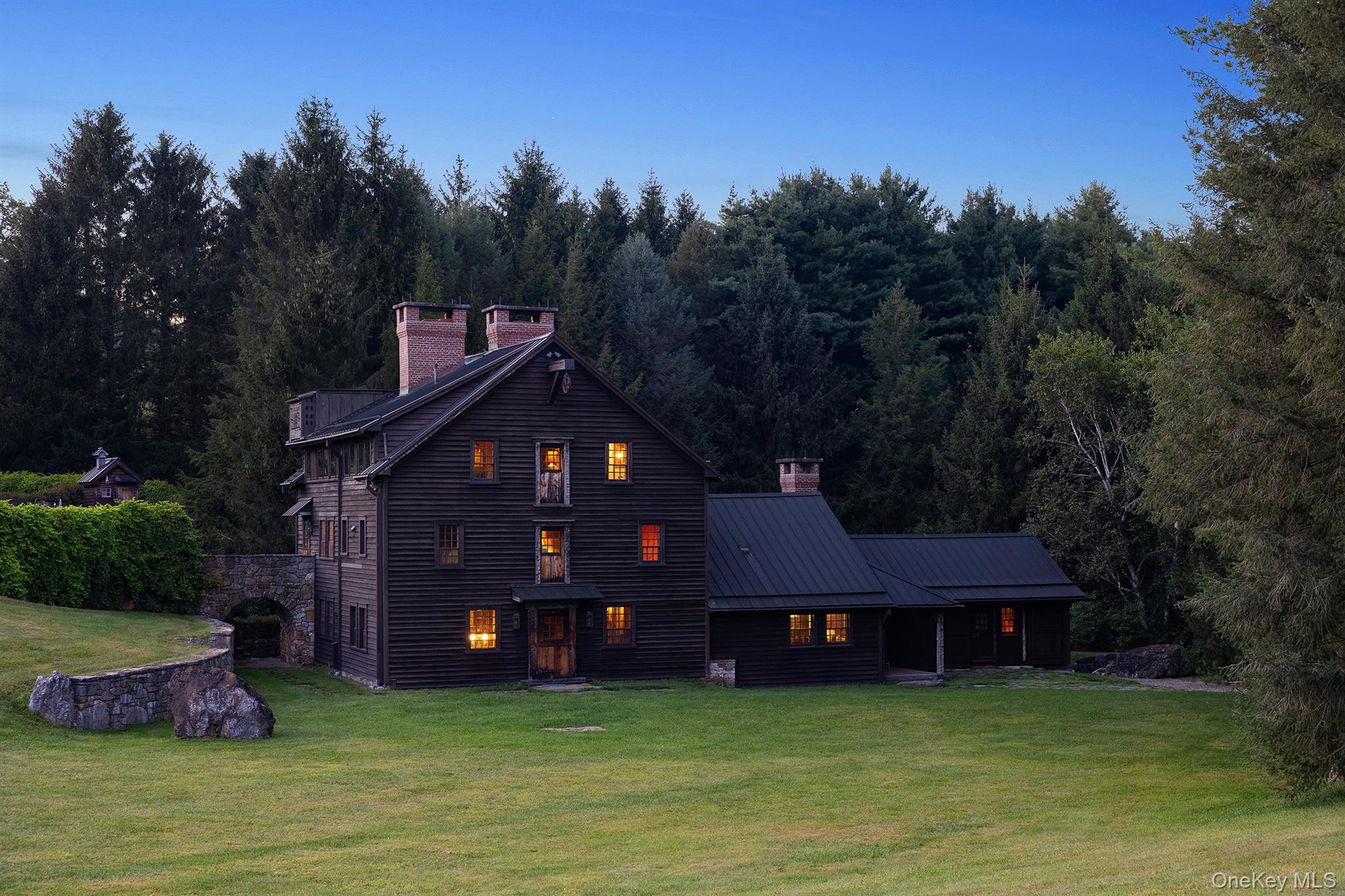
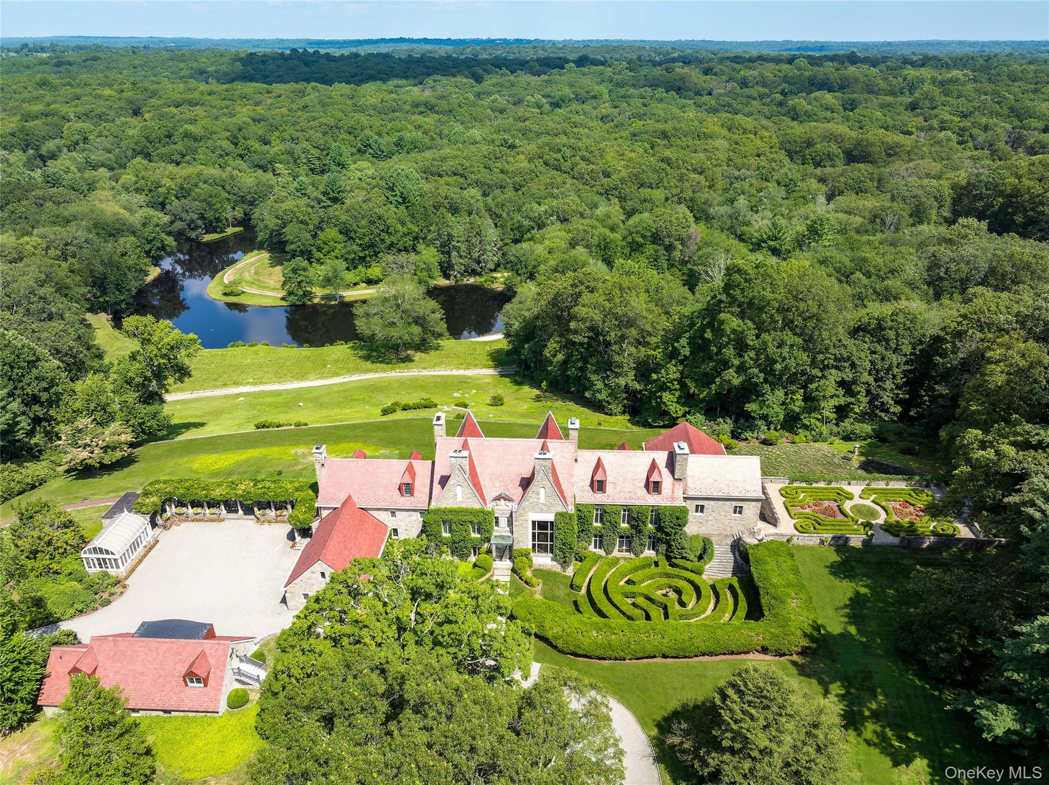
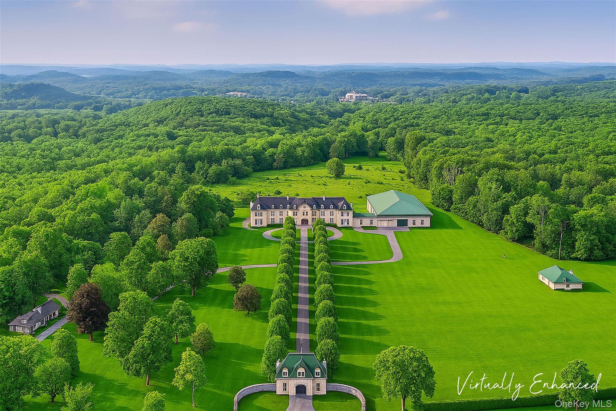
Inventory in and around Pine Plains ranges from near-hamlet houses around the NY-199 / NY-82 crossroads to Lake Road / lake-adjacent addresses, larger town and rural lots, farm and estate parcels, and hillside properties with mountain or valley views. Architecture can include classic northern Dutchess village stock, renovated country houses, design-forward renovations, and newer construction on larger lots. Those are housing types only.
Water, septic, well, flood / wetland questions, and zoning can differ street by street. The town also publishes a Pine Plains Water Improvement Area (PPWIA) conversation for parts of the town - confirm whether a parcel is on municipal water, a private well, or another arrangement before you treat a listing note as final. Confirm utilities and permitted uses with the Town of Pine Plains.
School district assignment varies by address. Confirm the serving public district for a specific parcel with the town or district. This page does not rank schools or describe who lives here.
Short-term rental rules, conservation easements, HOA documents (when a community has one), and wetland / lake setbacks matter on some addresses. Ask for the current town and state rules that apply to the parcel. Do not invent a town-wide policy from a neighbor anecdote.
Pine Plains is part of the northern Dutchess / second-home conversation many buyers already run alongside Millbrook, Amenia, Millerton, Rhinebeck, Dover Plains, and Sharon (CT). Some buyers use Pine Plains as a full-time house. Others keep a second place and drive to a Harlem Line station when they need rail. There is no official primary-vs-second-home percentage for Pine Plains on this page. Do not invent one.
When we describe a Pine Plains listing, we say whether it sits in the hamlet / NY-199-NY-82 center pattern, toward Lake Road / Stissing Lake / Twin Island Lake, toward Bethel or Hammertown, toward the Columbia County line, on a larger town lot, or near a named preserve such as Thompson Pond or the Stissing Mountain Multiple Use Area. Those are map facts. They are not coded claims about who lives where.
Motivations tied to place and access, not to a type of person.
- You want a Town of Pine Plains / 12567 address with car-based daily life on NY-199 and NY-82, and you need accurate language that this is not an in-town Metro-North stop.
- You are comparing Pine Plains with Millbrook, Amenia, Millerton, Dover Plains, Rhinebeck, Sharon, Stanford, Milan, or other northern Dutchess / Northwest Hills towns.
- You care about Stissing Mountain, Thompson Pond Preserve, Stissing Lake Park, Twin Island Lake orientation, or Audubon Buttercup Sanctuary more than a dense downtown-only model.
- You already own here and need a listing that names the Town of Pine Plains, the correct hamlet or named place, septic/well/PPWIA/zoning reality, and honest rail language without inventing drive times.
None of these "wins." They answer different search patterns.
Millbrook - eastern Dutchess village / country pattern often compared when buyers want a different village Main Street framing than Pine Plains' lake-and-mountain story.
Amenia - Town of Amenia to the southeast / Harlem Valley side, with Wassaic as the Harlem Line northern terminus and a strong Harlem Valley Rail Trail trailhead story. Useful when the buyer wants rail in town language that Pine Plains does not have.
Millerton - Village of Millerton / Town of North East pattern farther east / northeast, often the grocery / Main Street comparison and another HVRT trailhead town.
Dover Plains - Town of Dover / Harlem Valley hamlet with an in-hamlet Metro-North station and Dover Stone Church Preserve context. The clear contrast when someone asks whether Pine Plains is a rail town.
Rhinebeck - western Dutchess village / Hudson River pattern many buyers already know for errands, dining, and hospital orientation west of Pine Plains on the NY-199 conversation.
Sharon - Litchfield County, Connecticut, across the state line from the eastern Dutchess conversation. Confirm which town clerk and tax map you mean.
Stanford / Milan (adjacent towns) - not always separate Garay Team neighborhood pages, but they are the immediate south and west town-line neighbors. If the search address is near those lines, say the correct town clerk plainly.
Is Pine Plains its own village?
No separate incorporated village government is the usual framing. Pine Plains is a town; the hamlet of Pine Plains is the crossroads center inside that town. Use Town of Pine Plains records for permits and taxes. Official site: pineplains-ny.gov.
Is there a Metro-North station in Pine Plains?
No. Pine Plains is not a Harlem Valley rail town. Reach Harlem Line service at stations such as Dover Plains, Harlem Valley-Wingdale, or Wassaic (Amenia), depending on the address and schedule. Confirm with MTA. We will not invent a drive time from a specific parcel.
What is Stissing Mountain?
The landmark mountain / ridge that orients Pine Plains, commonly cited around 1,403 feet with a public fire tower. Hiking access is commonly discussed through Thompson Pond Preserve (Nature Conservancy) and the separate NYSDEC Stissing Mountain Multiple Use Area (about 590 acres). DEC notes the fire tower is not accessed from the Multiple Use Area.
What is Thompson Pond Preserve?
A Nature Conservancy preserve of about 530 acres at the foot of Stissing Mountain in Pine Plains, with pond-loop trails, an accessible trail segment, and a steep trail toward the fire tower. Confirm current map and parking before you go.
Where is public swimming?
Town materials name Pine Plains Beach / Stissing Lake Park on Beach Road. Confirm seasonal hours and rules with town Recreation. Do not invent public beach rights on private lake parcels.
Can The Garay Team help in Pine Plains?
Yes, for New York licensed brokerage in Dutchess County. Contact [email protected], use our contact page, or start with selling with The Garay Team when you need a listing plan.

Office 17 Collegeview Ave Poughkeepsie, NY 12603
Office 17 Collegeview Ave Poughkeepsie, NY 12603